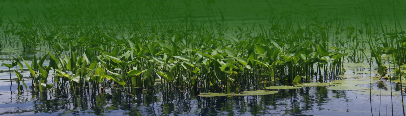
The Comprehensive Lake Management Plan (CLMP) encompasses the Tomahawk Lake System. The Tomahawk Lake System includes Tomahawk, Little Tomahawk, Mud, and Inkwell Lakes, Paddle Pond, and the Tomahawk Thoroughfare to the Thoroughfare Road bridge in Oneida County, Wisconsin. The plan includes data about the aquatic plant community, watershed, and water quality of the Tomahawk Lake System. It also presents a strategy for lake management actions to achieve the lake management plan goals. Plan date: 1/2016
Click here to download PDF of full plan
The Shoreland Restoration and Stormwater Management Plan (TLA CLMP Addendum)
Plan date: 8/2016
Click here to download PDF of plan addendum
The Shoreland GIS project purpose is to identify and map, using GIS technology, Tomahawk Lake’s critical habitat features, areas of concentrated use, and to conduct a shoreland inventory on an individual parcel basis to show the relationship of critical habitat area to shoreland land management practices.
The project assumption is that knowledge of Tomahawk Lake’s valuable ecological features will motivate shoreland owners to maintain or initiate practices that conserve or restore native shoreland vegetation and minimize erosion and surface water runoff. Plan date: 8/2020
Click below to download PDF of: